Blog
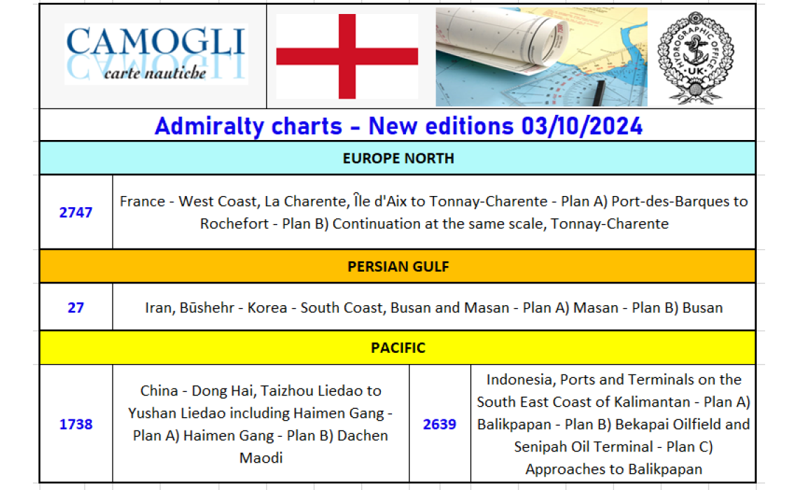
Admiralty Charts New Editions 03/10/2024
Admiralty Nautical Charts new editions 03/10/2024
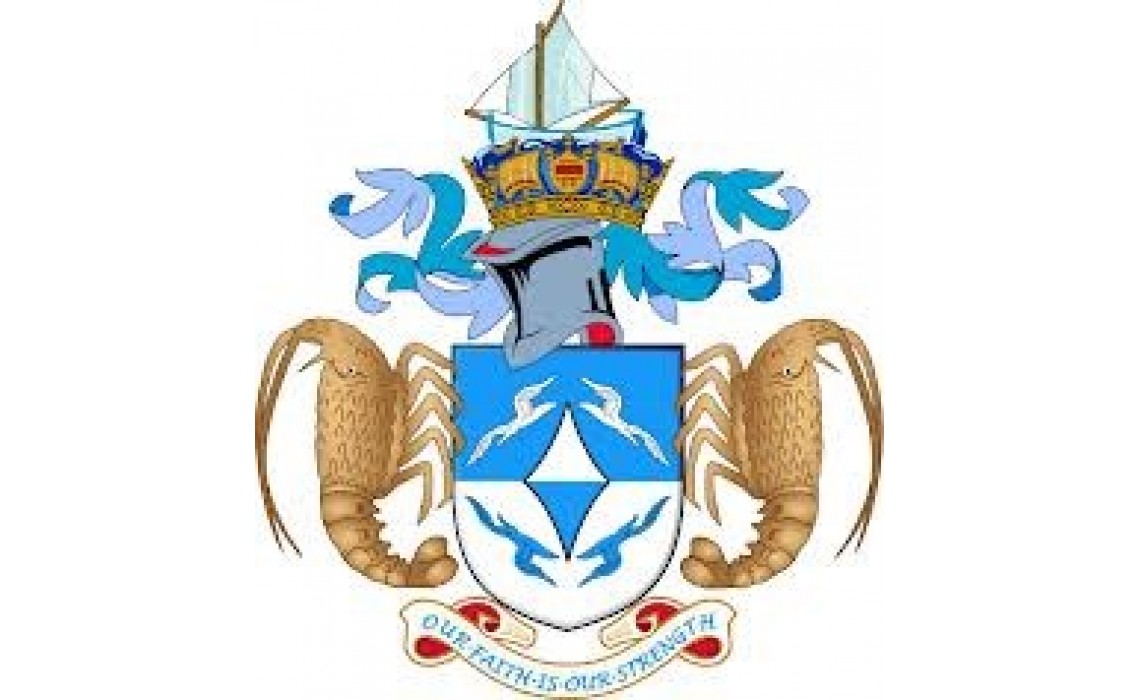
TRISTAN DA CUNHA chi era costui? 20-11-2018
Un navigatore portoghese che nel 1506 scoprì un piccolo arcipelago di origine vulcanica a cui diede il suo nome.
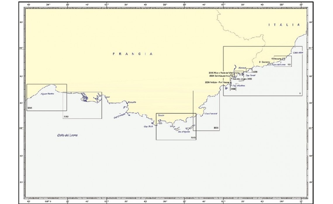
IDROGRAFICO CARTE NAUTICHE COSTA AZZURRA - LIGURIA OVEST - 18-11-2018
Sono presenti in questa area le carte n°:
1 DA CANNES A IMPERIA - 51 PORTO DI SANREMO - 52 PORTO DI IMPERIA - 101 LITORALE DI IMPERIA - 2056 DA CAP D’ANTIBES A CAP FERRAT- BAIE DES ANGES – RADE DE VILLEFRANCHE - NICE E RADE DE VILLEFRANCHE – ANTIBES E PORT VAUBAN – MARINA BAIE DES ANGES – SAINT LAURENT DU VAR - 2058 APPRODI E PORTI DI MONACO – DA CAP D’AIL A CAP MARTIN - 2065 DA CAVALAIRE SUR MER ALLA RADE D’AGAY - 2070 DA TOULON A CAVALAIRE SUR MER – ILES D’HYERES - 2090 DA SAINTES MARIE DE LA MER A PORT SAINT LOUIS DU RHONE - 2095 DA SETE A LA POINTE DE L’ESPIGUETTE
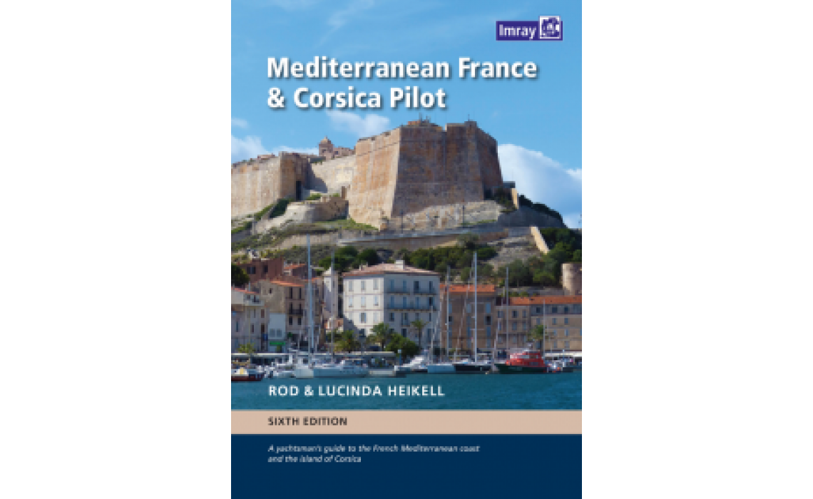
IMRAY MEDITERRANEAN FRANCE & CORSICA PILOT - 17-11-2018
394 pagine Portolano da diporto in Inglese - con copertura della costa francese dal confine spagnolo al confine italiano e Corsica - porti - anchoraggi - servizi portuali - foto - infomrazioni generali e tecniche

