GNOMONIC CHARTS
.jpg) Gnomonic Charts are used in
passage planning to plot great circle routes as straight lines and for devising
composite rhumb line courses.
Gnomonic Charts are used in
passage planning to plot great circle routes as straight lines and for devising
composite rhumb line courses.
Five charts cover the world at scales of between 1:17,500,000 and 1:32,000,000.
Ordina per:
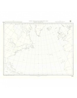
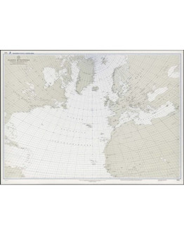
5095 - Gnomonic North Atlantic Ocean
29.00€
BA 5095 - Area: Oceano Atlantico Nord Scala: 1:17500000 - Edition: 30/08/2018 Le carte..
Aggiungi al carrello
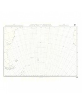
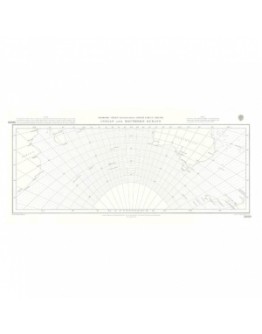
5096 - Gnomonic Southern Atlantic and Southern Oceans
29.00€
BA 5096 - Area: Oceano Atlantico Sud Scala: 1:17500000 - Edizione: 30/08/..
Aggiungi al carrello
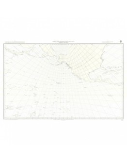
5097 - Gnomonic North Pacific Ocean
29.00€
BA 5097 - Area: Oceano Pacifico Nord Scala: 1:32000000 - Edizione 30/08/2018Le cart..
Aggiungi al carrello
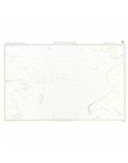
5098 - Gnomonic South Pacific and Southern Oceans
29.00€
BA 5098 - Area: Oceano Pacifico Sud Scala: 1:32000000 - 30/08/2018 Le carte..
Aggiungi al carrello
1020 - Atlantico Settentrionale, carta gnomonica
38.00€
Edition: 2000 Le carte Gnomoniche sono utilizzate nella pianificazione dei passaggi oceanici La&..
Aggiungi al carrelloMostra 1 a 6 di 6 (1 pagine)

