SECURITY CHARTS
 ADMIRALTY Maritime Security Charts (MSCs) contain safety-critical information
for situational awareness and to assist bridge teams in the planning of safe
passages through areas of risk. All information has been gathered by the UKHO
working with NATO, other government agencies and international partners,
ensuring that each chart has the most accurate, up-to-date and verified
information available.
ADMIRALTY Maritime Security Charts (MSCs) contain safety-critical information
for situational awareness and to assist bridge teams in the planning of safe
passages through areas of risk. All information has been gathered by the UKHO
working with NATO, other government agencies and international partners,
ensuring that each chart has the most accurate, up-to-date and verified
information available.
Each Maritime Security Chart includes:
- Information about dangers to the security of navigation including piracy, terrorism, embargoes, mine warfare, exclusion zones, blockades, illegal unreported and unregulated fishing, smuggling and GPS jamming and spoofing. This information, when used in conjunction with official navigational charts, can help towards enhancing the safety of ships, the crew and cargo.
- General security advice, self-protective measures, security procedures and emergency and regional safety contacts, as well as routeing and reporting requirements implemented by the military or regional authorities.
- Regular updates of SRIMs and when required, new editions of Maritime Security Charts (MSCs) to help maintain the flow of security related information to enhance situational awareness and general safety.
Ordina per:


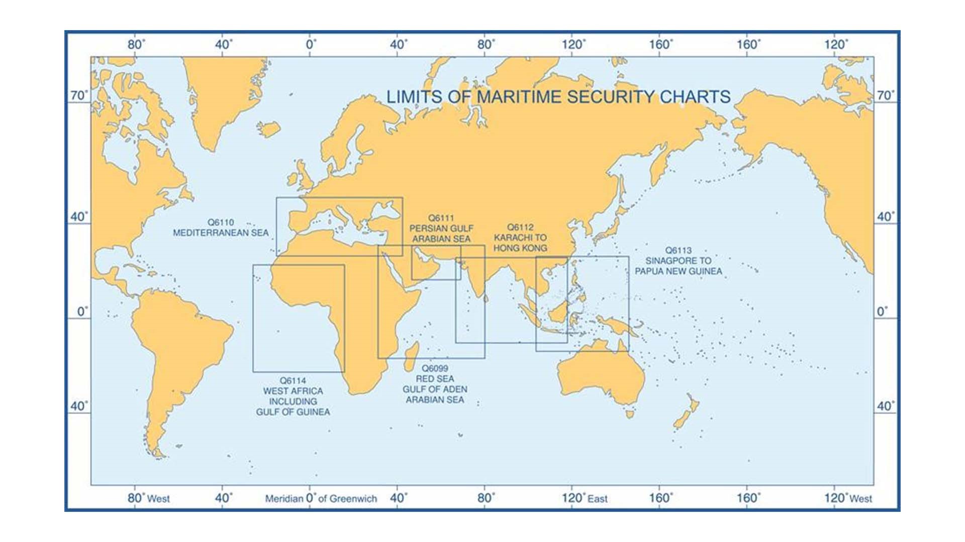
Q6114 - M.S.C. West Africa including Gulf of Guinea
56.00€
Edizione 21/11/2024This Maritime Security Chart contains security related information to..
Aggiungi al carrelloMostra 1 a 6 di 6 (1 pagine)